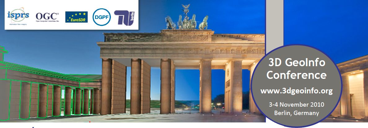
3D GeoInfo Conference

The 5th International 3D GeoInfo Conference 2010 aims at bringing together international state-of-the-art research and facilitating the dialogue on emerging topics in the field of 3D geoinformation. In recent years, research has focused on improving 3D data acquisition technology through remote sensing, photogrammetry, laser altimetry techniques (LiDAR), and visualization technology (3D CAD and Virtual Reality (VR) system) for 3D urban environments. The resulting 3D models can be maintained in several types of 3D models: TEN (Tetrahedral Network), Constructive Solid Geometry (CSG) models, Regular Polytopes, TIN Boundary representation and 3D volume quad edge structure, layered/topology models, voxel based models, 3D models used in urban planning/polyhedrons, and n-dimensional models including time. However, researchers still face many challenges today regarding the development of suitable data models representing topological relationships among 3D spatial objects in built environments.
| Dates | Titel | |
| 5th 3D GIC | 2010 November 3rd – November 4th | 5th International 3D GeoInfo Conference 2010 |


